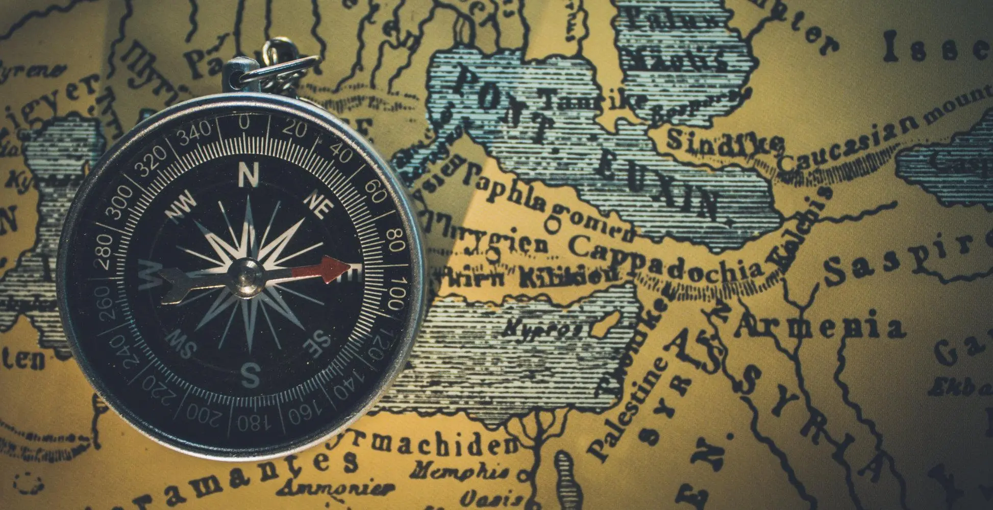
The Bible is a rich and complex text that spans thousands of years and covers a vast geographic area. Understanding the locations of the events and stories in the Bible can be challenging, but the use of maps can be a valuable tool for visualizing the world of the Bible. In this article, we will explore the importance of maps in understanding the Bible and provide a guide for using them effectively.
First, it is important to understand why maps are so useful when studying the Bible. The Bible contains a wealth of geographic information, from the cities and towns where events took place, to the rivers and mountains that played important roles in the lives of the people of the Bible. Maps allow us to see the physical landscape of the Bible and to visualize the locations of important events, such as the Exodus from Egypt, the travels of Paul the Apostle, and the life of Jesus.
One of the most important things to consider when using maps to study the Bible is accuracy. It is essential to use maps that are based on historical and archaeological research, rather than relying on maps that are purely speculative or based on artistic interpretations. There are many excellent resources available, both in print and online, that provide accurate maps of the ancient Near East.
When using maps to study the Bible, it is important to consider the context of the events being depicted. For example, understanding the geography of the area surrounding the Jordan River can help to contextualize the baptism of Jesus, while a map of the Mediterranean region can help to understand the travels of Paul the Apostle. Maps can also help to provide context for the relationships between different regions and peoples, such as the relationship between Israel and its neighbors in the ancient Near East.
Another useful feature of maps is the ability to overlay multiple layers of information. For example, a map of the Holy Land can be overlaid with a map of the routes taken by the Israelites during the Exodus or the locations of the major battles in the Old Testament. This can help to visualize the relationships between events and locations, and to understand how different events relate to each other in the context of the Bible.
Maps are an essential tool for visualizing the world of the Bible. They provide us with a way to see the physical landscape of the ancient Near East and to contextualize the events and stories of the Bible. By using accurate maps and considering the context of the events being depicted, we can gain a deeper understanding of the world of the Bible and its impact on human history and spirituality.


